irradiance
irradiance
irradiance

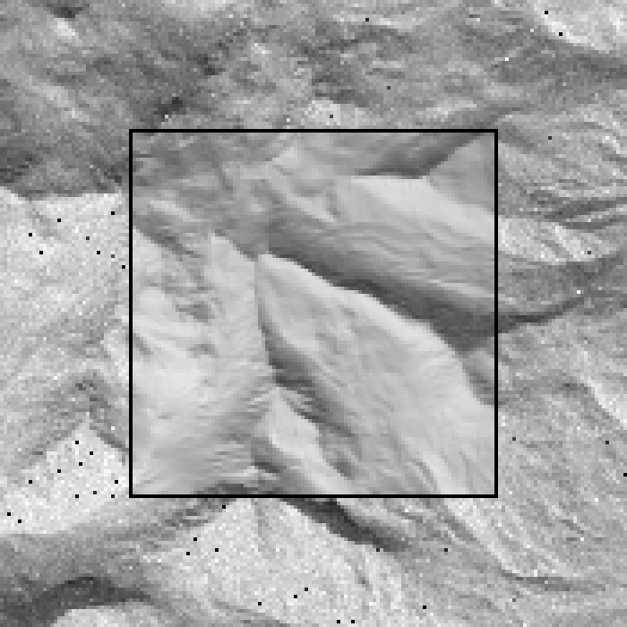
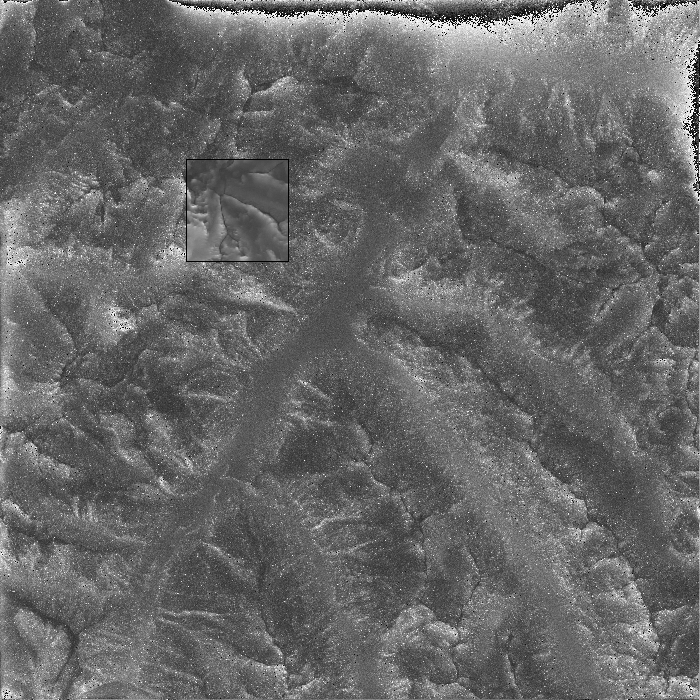
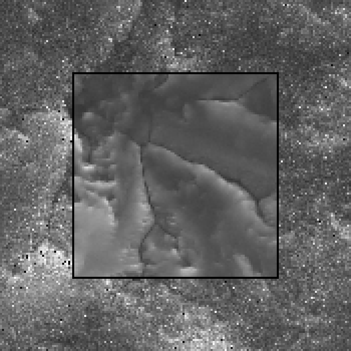
| whole domain | zoom | |
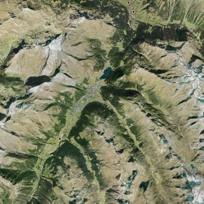
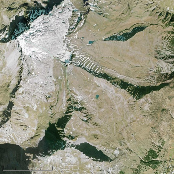
| google Earth |
|
|
|
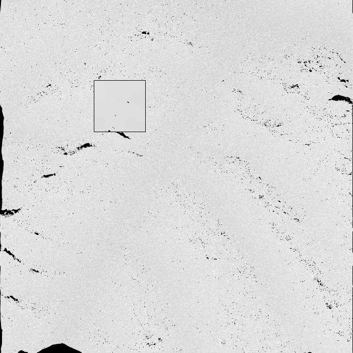
Direct irradiance |
|
|
|
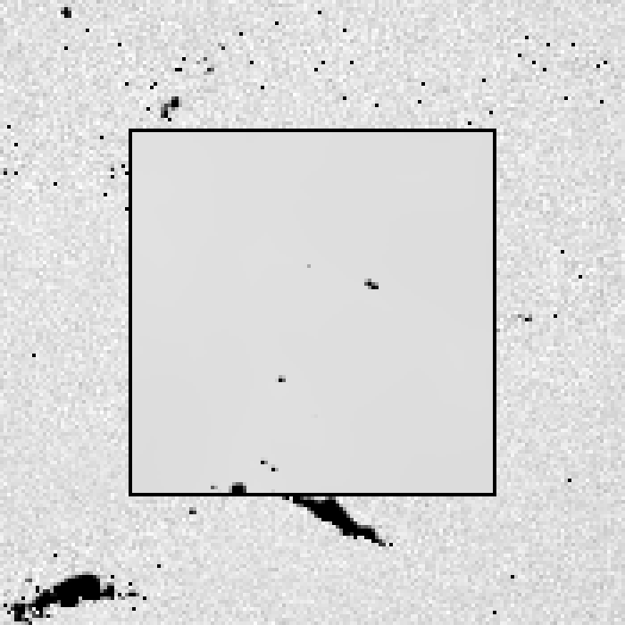
Diffuse downward irradiance |
|
|
|
Diffuse upward irradiance |
|
|